13 / 13
11
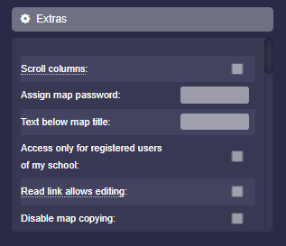
Extras
-
Under “Extras” you will find many additional settings as a map owner.
-
In detail, these are:
-
- Scroll columns
- Assign map password
- Access only for registered users of my school
- Read link allows editing (see here)
- Disable map copying
- Hide map title
- Hide download buttons
- Hide participants
- Open links in same tab
- Fewer settings for students and anonymous
- Only map owner can create arrows, images, labels
- Edit arrows, images, text labels only by creator
- No live updates
- Always full box height
- No minimum box height
- Fixed box height (min: 100, max: 700)
- Fixed column width (min: 300, max: 700)
- Box spacing bottom (min: 0, max: 300)
- Column distance right (min: 10, max: 300)
- Font size in boxes (min: 10, max: 20)
- Font size of column titles (min: 10, max: 20)
- Rounding box corners (min: 0, max: 50)
- Rounding column corners (min: 0, max: 20)
- Regenerate map link
- Map language
-
⚙ extras